Trans Pennine Trail
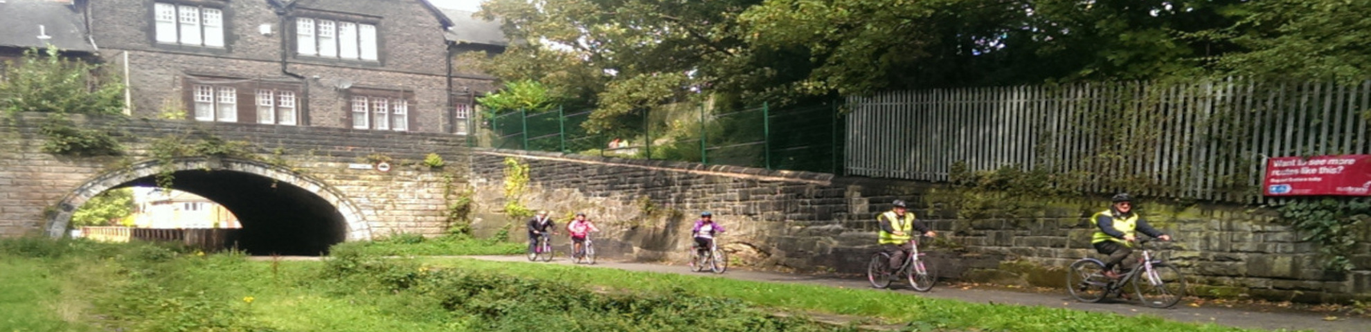
The Trans Pennine Trail is an exciting route for walkers, cyclists and horse riders.
Linking the North and Irish seas, passing through the Pennines, alongside rivers and canals and through some of the most historic towns and cities in the North of England. The trail from coast-to-coast between Southport and Hornsea is 215 miles (346Km) long.
The Trans Pennine Trail is mapped and signed all the way, mainly traffic free and is surprisingly level considering the dramatic scenery along the way. Easy gradients and surfaced paths make many sections suitable for families, gentle exercise and people using wheelchairs and pushchairs. So whether you’re walking, cycling or even riding a horse the Trans Pennine Trail really is a perfect family day out.
The trail runs alongside a number of stations including: Aintree, Brunswick, James Street, Liverpool Central, Old Roan, Orrell Park, Southport and St Michaels.
A walking route map is available here.
A cycling route map is available here.